
Christopher Saxton
 Christopher Saxton (c. 1540 – c. 1610) was an English cartographer who produced the first county maps of England and Wales.
Provided by Wikipedia
Christopher Saxton (c. 1540 – c. 1610) was an English cartographer who produced the first county maps of England and Wales.
Provided by Wikipedia
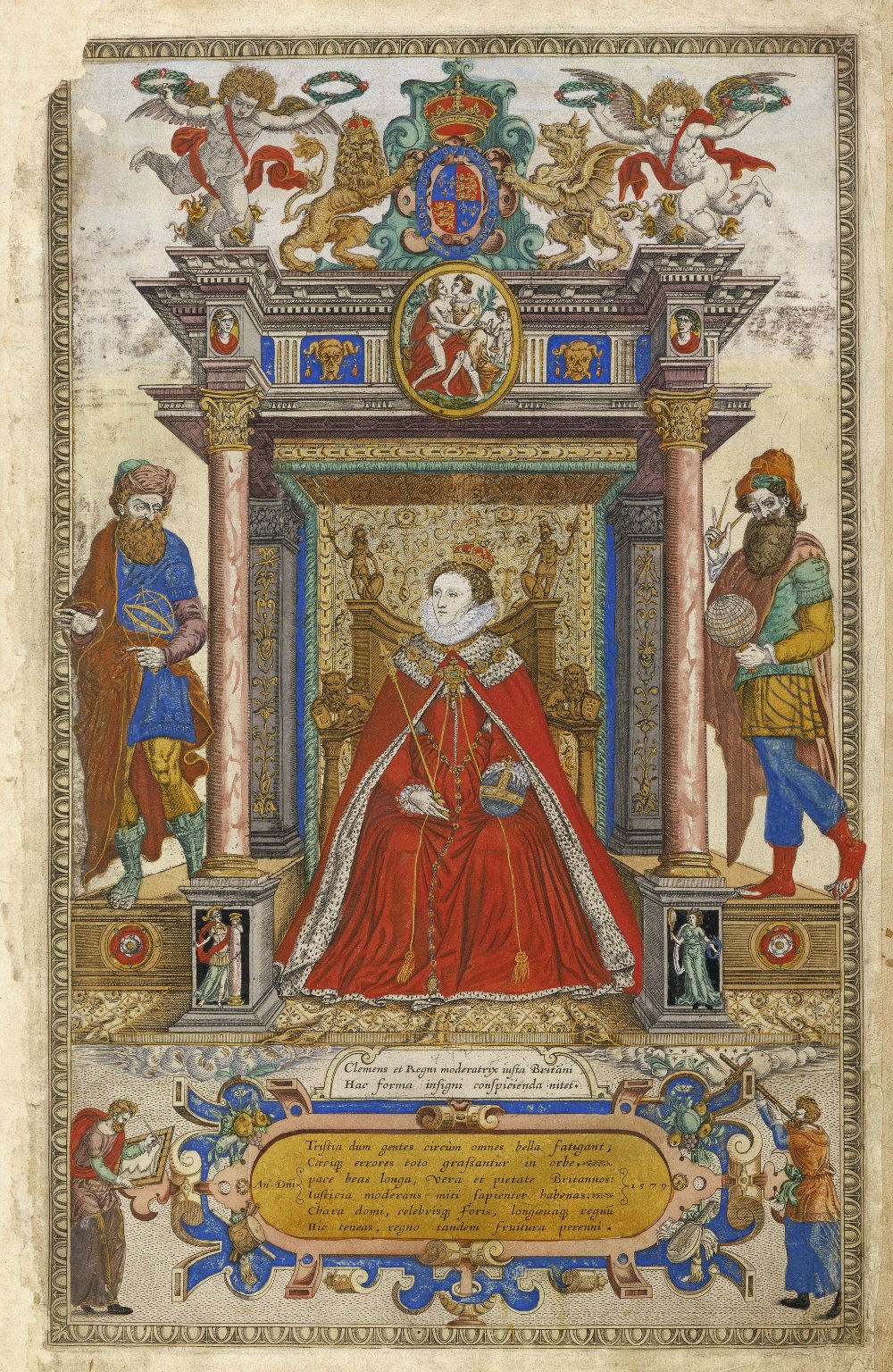
1
Published 1579
Other Authors: ';
“...Saxton, Christopher...”
Map
2
3
4
Published 1680
Other Authors: ';
“...Saxton, Christopher 1540-1610...”Digitalisat in e-rara
eBook
Map
5
Published 1686
Other Authors: ';
“...Saxton, Christopher 1540-1610...”Digitalisat in e-rara
eBook
Map
6
Published 1689
Other Authors: ';
“...Saxton, Christopher 1540-1610...”Digitalisat in e-rara
eBook
Map
7
Published 1692
Other Authors: ';
“...Saxton, Christopher...”
Map
8
Published 1692
Other Authors: ';
“...Saxton, Christopher 1540-1610...”Digitalisat in e-rara
eBook
Map
9
Published 1695
Other Authors: ';
“...Saxton, Christopher...”
Map
10
Published 1696
Other Authors: ';
“...Saxton, Christopher...”
Map